
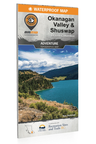


Backroad Mapbooks, Okanagan Valley & Shuswap, British Columbia
Released: 2021
Released: 2021
Pages: 2
Dimensions: 86 x 117 cm (34 x 46.25 inches)
Paper: Waterproof, Tear-resistance
Maps: 2 sides @ 1:150,000
Map Features: Highways, Logging Roads, Land & Water Features, Parks, Adventure Points of Interest, Campgrounds, Hiking Trails, Motorized Trails, Paddling Routes, Hunting & Fishing Areas, Winter Recreation and More.
Areas Covered: Adams Lake, Armstrong, Beaverdell, Chase, Cherryville, Christian Valley, Enderby, Falkland, Grand Forks, Greenwood, Kelowna, Keremeos, Lake Country, Naramata, Oliver, Osoyoos, Peachland, Penticton, Salmon Arm, Seymour Arm, Sicamous, Vernon & more